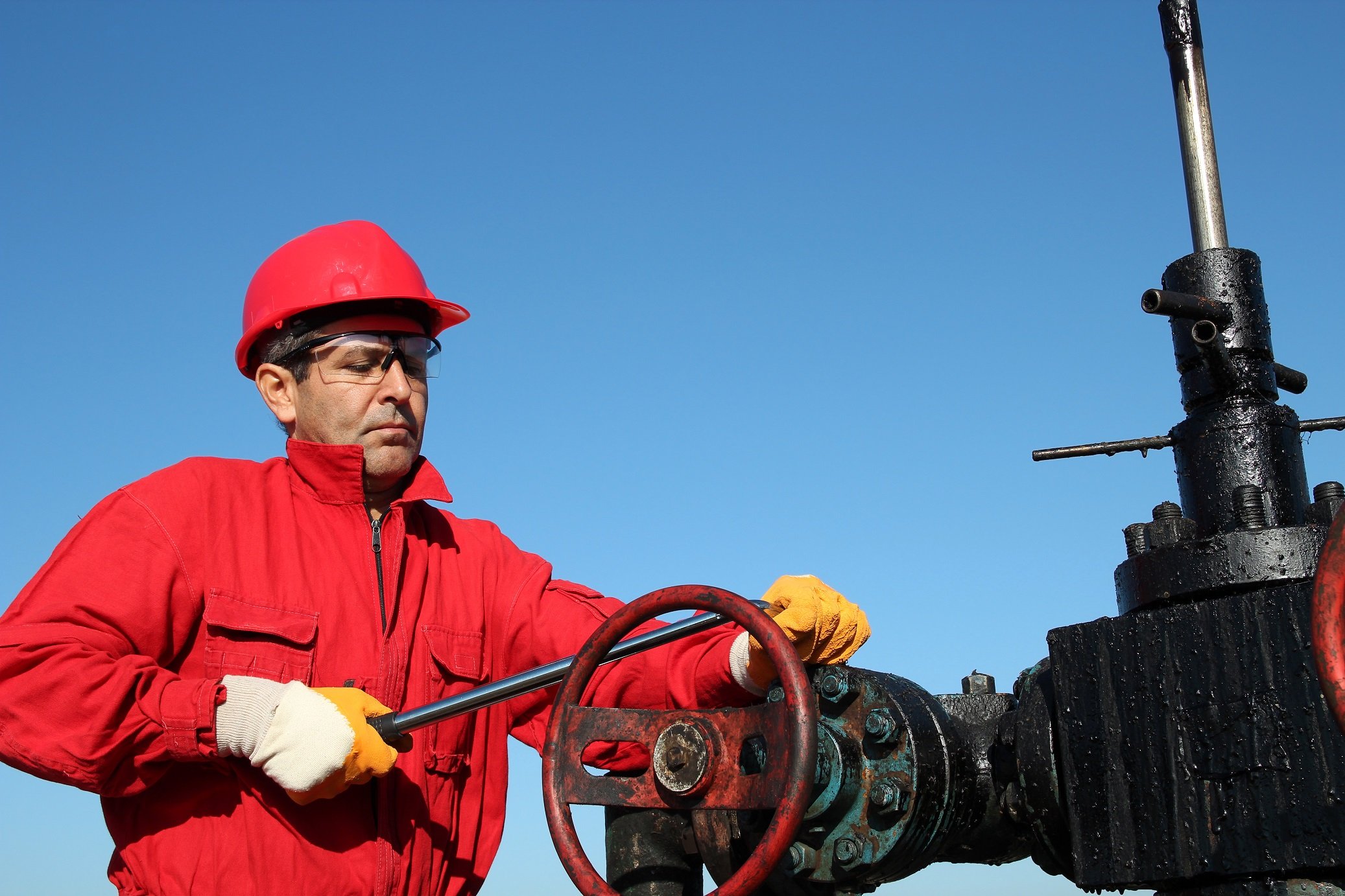
The Driller is the person on a rig who is in charge of the well drilling process, they supervise the crew and the running of the rig itself. They are responsible for monitoring things like pressure build-ups and gas levels, with safety being of paramount importance.


Drillers are one of the very few people with the authority to shut down the well if an emergency occurs.


The Toolpusher, driller and rig crew will work for a drilling contractor, taking their operational orders from the Company Man or Drilling Supervisor who represents the operator company.

What qualifications are needed as a driller?

For a driller, skills are arguably more important than specific qualifications, with a lot of the experience required coming through working through the ranks on a rig.


Typically, good critical thinking, excellent communication skills, steady hands and good coordination make up the skills toolbox for a driller.


There are two main well control certifications, with many companies wanting at least one. These are the IADC and the IWCF.


For offshore rigs, the standard industry certificates such as BOSIET, HUET or MIST are essential, as is a medical to prove good health. 

How to become one?

It’s quite common for drillers to start on the rig floor working as a roustabout and learning on the job until they become an assistant driller, then once they have the relevant knowledge and a bit more experience they can take the step up to being a drill operator.

What salary you’ll make

This really depends on where your rig is based, with key factors including remoteness and the harshness of environmental conditions. An onshore rig in Abu Dhabi will not pay a driller as much as one based in the stormy seas west of the Shetland Isles for example.


It is the norm for people to work on a rotation, usually 28 days on 28 days off, and to be paid a daily rate for the days they work.  These range from $750 up to $1,000 or occasionally higher.

What jobs are there?

There are onshore drilling operations in large parts of the world, and many offshore areas still being explored and developed.


For offshore work, you will work either on a fixed or floating rig, which is determined by the depth of water. This could be a drillship, a jack-up rig, a platform or a semisubmersible.


Find driller jobs

Other job types in Oil and Gas

Related vacancies

GIS Technician (O&G)

Location: Doha

Branche: Oil & Gas

Expertise: Engineering & Design

Experience: 5 years

Update the enterprise GIS Data including data format translation, topology building and verification to maintain Company Industrial Cities GIS Geodatabase which includes urban, industrial planning, environment, port and marine services, facilities management, fire and safety, and infrastructure data (land allocation plots, buildings, roads, utilities such as electrical, telecommunication, sewage and water). Create standard, custom, and special ad-hoc GIS maps either in printed or soft copies for the CEO, Directors, managers, engineers, and urban and industrial planners for meeting or presentation purposes, including the GIS poster creation for department applications and visual queries.Extract vector and image GIS data for the staff in Company Industrial Cities. The vector data can be from topographic, cadastral, and CAD drawings of urban development plan, land lease plots, buildings, roads, piping, routing, utilities such as electricity, telecommunications, water, sewage, drainages, new well locations or seismic data. The image data can be from the aerial or satellite images from the Company corporate image server. Responsible in providing the necessary GIS technical support to Company Industrial Cities departments:Issue a PIN (Parcel Identification Number) to propose plots as per the Industrial Cities Master Plan for plot identification in the building permit process.Data conversion and manipulation of various files (AutoCADDrawings, JPEG, TIFF, PDF, Shapefiles, etc.) including the coordinate conversion of surveyed data from WGS84 or Nahrwan Datum to QND and vice versa.Collate documents from various agencies/utilities related to buildings, planning, roads, drainage, utilities, and environment and associate them with the GIS data.Perform data entry in the GIS tables associated with the Business table so that retrieval of related information is accessible for the users in Company Industrial Cities.Scanning of drawings or maps and georeferencing them for data extraction, photo mosaic of the needed satellite image or aerial image to incorporate into the GIS data for planning, review, or presentation purposes.Follow the standard principles to support various request such as routine GIS Spatial information data queries of Company Industrial Cities assets to meet the user requirements or specifications.Assist and support the GIS Analyst in the required GIS tasks assigned such as:Reviewing the integrity of the GIS Database.Updating the 2D/3D GIS Data of the Industrial Cities, whether data was collected from the in-house survey team, from a third-party consultant, or from the contractor.Conduct the necessary field verification for quality checking of Industrial Cities GIS data within the industrial boundaries to resolve conflicting information for the topographic, cadastral, navigation data, existing facilities, and satellite image quality enhancements purposes.

Designer (GIS)

Location: Doha

Branche: Oil & Gas

Expertise: Project Management & Services

Experience: 5 years

Supervise the develop engineering drawings from conceptual to detailed design drawing documents in accordance with Engineering Standards for Development of Technical Drawings (QP-ENG-STD-018).Update and maintain the consolidated master as-built drawing of the Industrial Cities (RLC, MIC and DCA).Provide spatial engineering related work to planners and engineers in the general allocation of plots and corridors of Industrial Cities (RLC, MIC and DCA) in accordance with its land use and corridor master plans.Assist planners and engineers in the technical review of conceptual project proposal, approved for construction/on-going projects to determine its spatial accuracy with reference to the consolidated master as-built drawing that could bring conflicts and design flaws clashing with the existing facilities and utilities on site.Work closely and liaise with planners and engineers to review the drawings for approval submitted by the end-users, consultants and contractors. Analyze and provide an overview of the work involved in the project and planning development to ensure coordination with the existing, on-going, future projects and off-plot utility layouts.Supervise the allocation of asset tag numbers with reference to the Engineering Standard (ES.0.07.0025) Equipment Identification and Tag Numbering System to Industrial Cities (RLC and MIC only).Review and take actions to all requests through PDMS, ECM and Management of Change Request (MOC) Project As-built drawings in RLC and MIC. Monitor the status of all CAD requests through the CAD, GIS and Survey Request System (CGSRS).Provide drawings with the existing facilities, utilities and other related data and information for maintenance, operations, security and fire safety to meet user requirements and project objectives as required.Provide data and information from the consolidated master drawing to GIS Section.